Goechala trek, Sikkim
All treks

SIKKIM · GUIDED BY UDEN TAMANG

Goechala

A high-altitude journey beneath Kanchenjunga

DURATION10–11 days
HIGHEST POINTGoechala Viewpoint 1 · approx. 4,600 m / 15,100 ft
DISTANCEAbout 90 km round trip
DIFFICULTYModerate to difficult
PRICEEnquire for a quote

THE ROUTE

Yuksom → Sachen → Tshoka → Dzongri → Thansing → Lamuney → Goechala Viewpoint 1 → Yuksom

  • Khangchendzonga National Park
  • Dzongri acclimatisation day
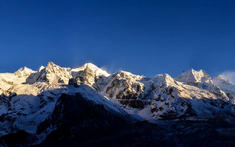
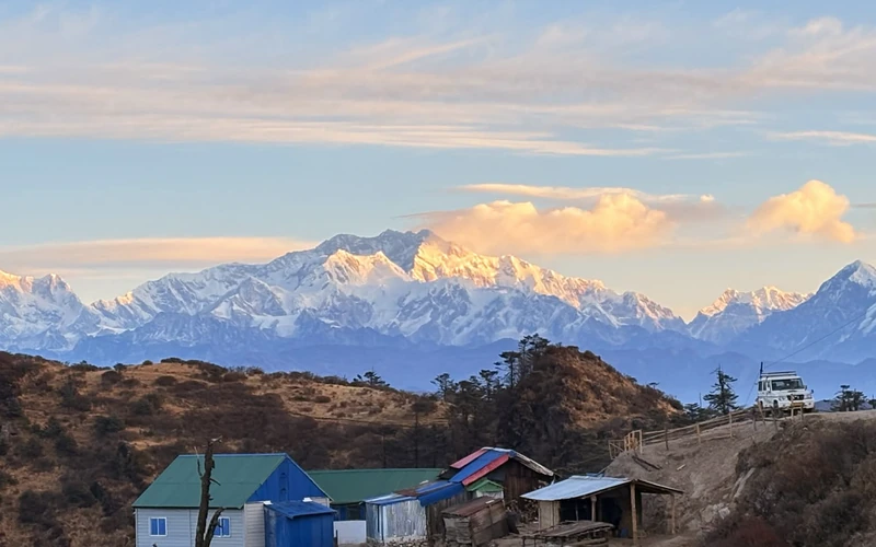
  • Pre-dawn viewpoint approach and Kanchenjunga sunrise

BEFORE YOU GO

A high-altitude trek inside Khangchendzonga National Park, starting from Yuksom. The pass is usually closed; Viewpoint 1 is the turnaround.

Vehicle transfers and a porter are not included in the listed trek price.

DAY BY DAY

The journey, step by step.

11 days on the route

DAY 01

Siliguri / NJP → Yuksom

Travel to Yuksom for the trek briefing and permits.

About 150 km by road7–8 hrs drivingYuksom · approx. 1,780 mNight: Yuksom
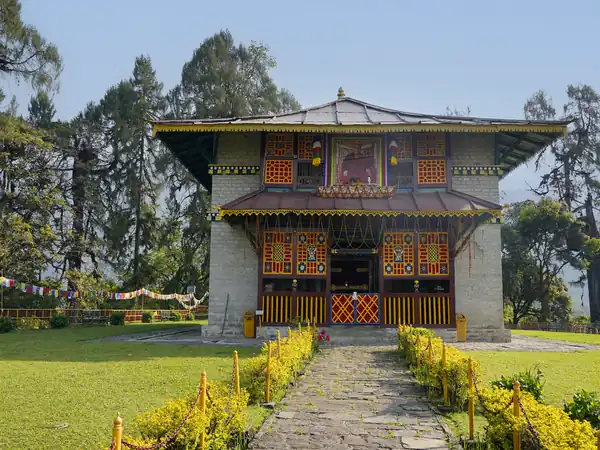
Goechala, day 1: Siliguri / NJP → Yuksom
DAY 02

Yuksom → Sachen

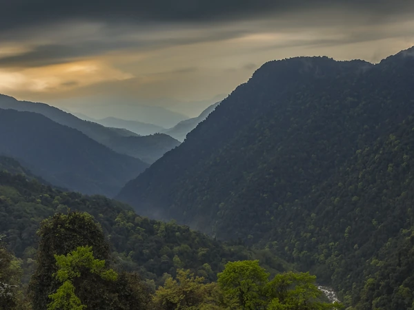
Enter the trail through forest and across suspension bridges.
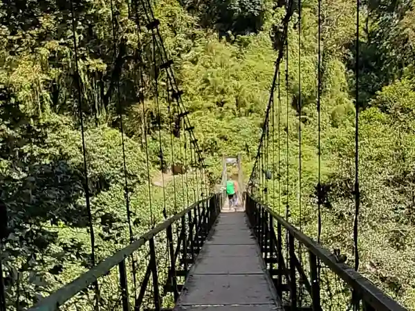
About 8 km5–6 hrsAbout 2,200 mForest and suspension bridgesNight: Camp at Sachen
Goechala, day 2: Yuksom → Sachen
DAY 03

Sachen → Bakhim → Tshoka

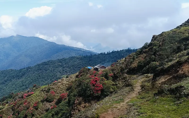
Climb through rhododendron forest toward Tshoka.
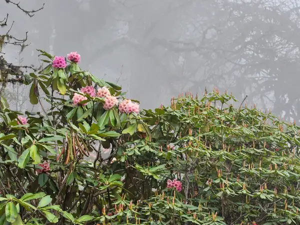
About 7 km4–6 hrsAbout 2,950–2,990 mRhododendron forestNight: Tshoka
Goechala, day 3: Sachen → Bakhim → Tshoka
DAY 04

Tshoka → Phedang → Dzongri

The trek’s major altitude gain leads to Dzongri.
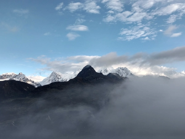
About 9–10 km6–7 hrsAbout 4,020 mNight: Camp at Dzongri
Goechala, day 4: Tshoka → Phedang → Dzongri
DAY 05

Acclimatisation at Dzongri

Take an early hike to Dzongri Top before returning to camp.
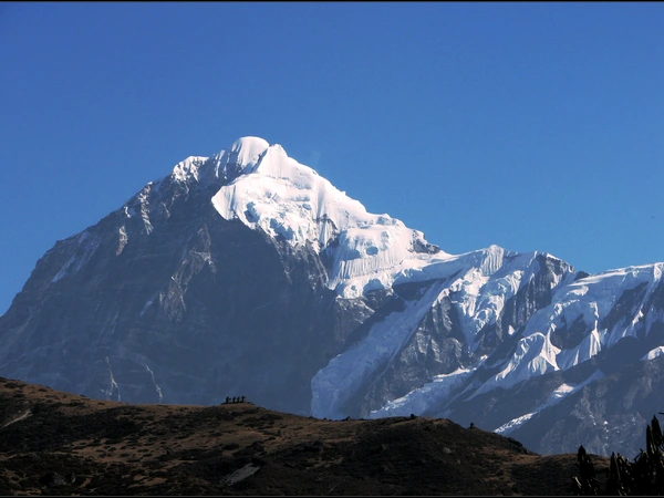
Dzongri Top · about 4,200–4,250 mNight: Dzongri
Goechala, day 5: Acclimatisation at Dzongri
DAY 06

Dzongri → Kokchurang → Thansing

Descend toward Thansing, with views of Mt. Pandim.
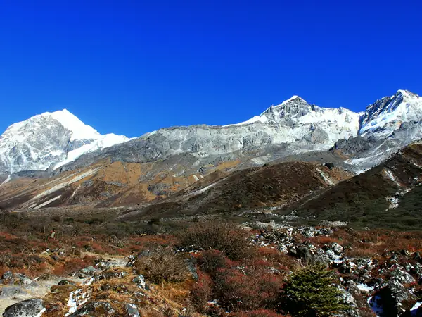
About 10 km5–6 hrsAbout 3,800–3,930 mNight: Camp at Thansing
Goechala, day 6: Dzongri → Kokchurang → Thansing
DAY 07

Thansing → Lamuney

A short staging day brings the route close to Samiti Lake.
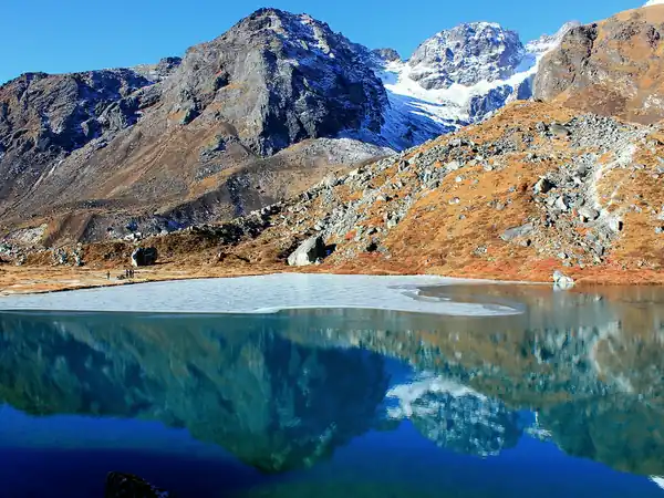
About 4 km2–3 hrsAbout 4,200 mNight: Camp at Lamuney
Goechala, day 7: Thansing → Lamuney
DAY 08

Lamuney → Goechala Viewpoint 1 → Thansing

Set out around 2–3 am. Reach the viewpoint for sunrise over Kanchenjunga, then descend past Samiti Lake.
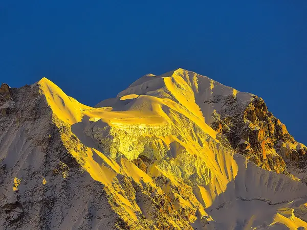
About 13–16 km8–12 hrsGoechala Viewpoint 1 · about 4,600 mHigh-altitude summit approachNight: Thansing
Goechala, day 8: Lamuney → Goechala Viewpoint 1 → Thansing
DAY 09

Thansing → Phedang → Tshoka

Retrace the trail on a long descent to Tshoka.
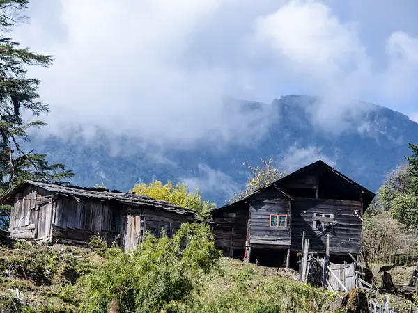
About 16 km7–8 hrsAbout 2,950 mNight: Tshoka
Goechala, day 9: Thansing → Phedang → Tshoka
DAY 10

Tshoka → Yuksom

Continue downhill to Yuksom.

About 14–15 km6–7 hrsYuksom · about 1,780 mNight: Yuksom
Goechala, day 10: Tshoka → Yuksom
DAY 11

Yuksom → Siliguri / NJP

Drive out from Yuksom to Siliguri or NJP.
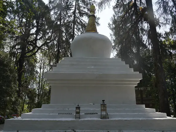
Drive out
Goechala, day 11: Yuksom → Siliguri / NJP
Photo credits

Photos on this page are from Wikimedia Commons, cropped and resized for this site.

FROM A LITTLE DAYDREAM TO A REAL JOURNEY
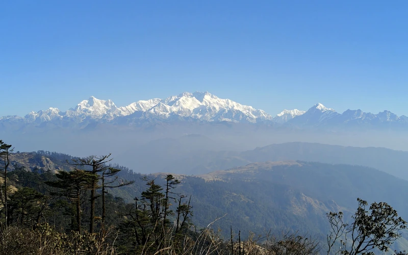
Where will the mountains take you?

Let’s plan it together
Chat on WhatsApp